Drone Surveys

Currently scheduling projects in the western US for March - May 2025. Contact us for an estimate.
Make pictures worthy of a thousand words.
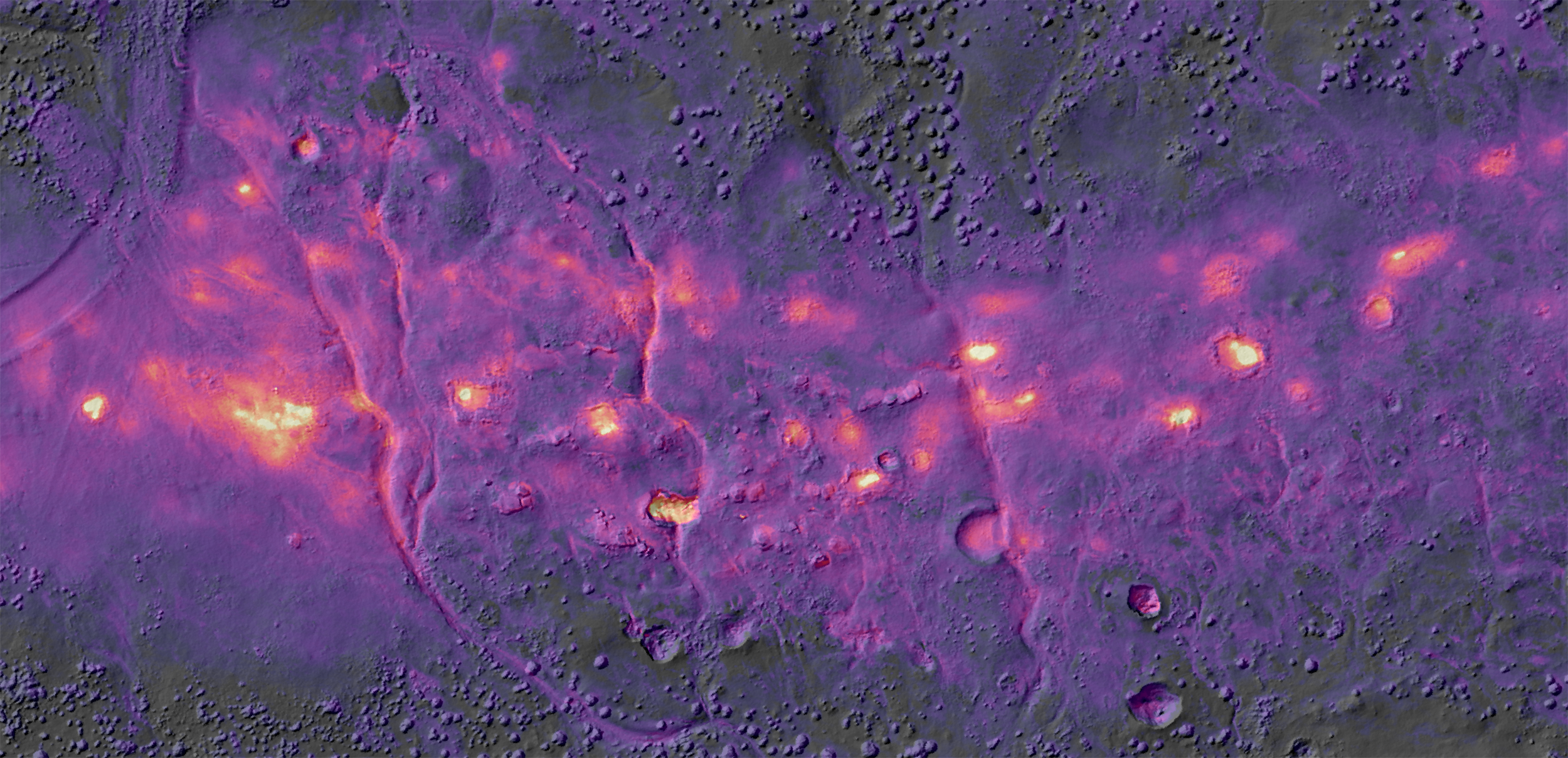
En Échelon Geosolutions specializes in quantitative, drone-based thermography for geothermal exploration, characterization, & environmental monitoring.
EEG developed field methods to calibrate and verify thermal maps, ensuring reliable and consistent evaluation of thermal anomalies associated with hot springs, fumaroles, warm ground, and geothermal infrastructure.
Additional products include qualitative thermal reconnaissance, visible light orthorectified photomosaics, and high-resolution surface models to support a variety of geologic mapping efforts.
Currently scheduling projects in the western US for March - May 2025. Contact us for an estimate.


